
Lakewood Street Directory Walkthrough
A reliable Lakewood address search starts with the exact address. Normalize the street line, unit, postal city, and ZIP with USPS, then put that address into the Los Angeles County Assessor Portal. Save the AIN, situs, legal or map reference, year-built field, and parcel status. The AIN is the bridge from a modern street line to an older tract and lot description.
Next, move outward by record type. The Assessor Map Search supplies nearby parcel geometry. The current owner or a recorded document clue can lead to the RR/CC alphabetical deed index. A permit viewer supplies a work timeline. Voter information is a self-check or restricted-file matter, not a public street browse. Historic occupants come from a reverse directory, where a street and house number replace a surname.
- Confirm the exact address and postal ZIP, including any unit or directional.
- Search the Assessor by address or AIN and save parcel, map, and legal-description facts.
- Click adjacent parcels separately and record each AIN rather than guessing from house numbers.
- Carry a named owner and likely year to the RR/CC index, counter, or mail request.
- Check permits since 2008, then use older city files or a records request when needed.
- Choose a reverse-directory year and inspect the street in house-number order.
The result is a chain, not a single Lakewood street directory hit: address → parcel → named party → deed or permit → listed occupant. A break at any step should be marked as “not located,” not filled with a guess.
Lakewood Street Parcel Clues
The Assessor Portal has Basic Search, Legal Search, and Map Search. Its main field is “Search by AIN or Address.” A result can show the AIN, situs address, city and ZIP, use type, parcel type, active status, tax-rate area, exemption indicator, units, beds and baths, building and land square footage, year built or effective year, roll values, parcel map, and map index.
Read those fields as parcel evidence. Situs is the physical location. A tax mailing address can differ. An owner record can describe a person, trust, or organization without naming everyone who uses the parcel. Year built may be an estimate, and a permit may date a later remodel. These distinctions matter when an address search compares an owner with a listed occupant.
| Field or mode | Format | Street-search use |
|---|---|---|
| Search by AIN or Address | Address text or hyphenated AIN | Turns a street line into a parcel result |
| Basic Search | Starting mode | Shows current parcel and assessment context |
| Legal Search | Legal description | Bridges tract, lot, block, and older records |
| Map Search | Pan, zoom, click | Finds adjacent lots and shared map context |
Use the LA County Assessor Portal for the address bridge. It does not advertise a public owner-name mode, so begin with an address, AIN, or map.
Lakewood Street Maps and Tracts
Street labels alone can fail when a record predates incorporation or uses a postal description tied to Long Beach-area geography. The Lakewood maps collection connects original tracts, census tracts, school and council districts, sheriff areas, and parcel-map context. Carry the tract, lot, block, cross street, and AIN together when an older search does not recognize “Lakewood.”
Lakewood’s major corridors sit inside the broader southeast Los Angeles County street system. Exact assignment or address changes belong with city GIS or Community Development, the assessor situs, and USPS. The In My Neighborhood address tool adds service days, zoning, schools, council districts, parks, events, and projects. It is a service map, not a resident directory.
For a visual explanation of the local map route, the official Lakewood maps page shows the tract and district materials used to place a parcel in its civic setting.

The map context helps keep a parcel in the right Lakewood tract when similar street names, old county labels, or edge-city postal names produce more than one possible result.
Note: A map boundary supplies location context, while the parcel card supplies the AIN that lets older record searches stay on the right lot.
Lakewood Street Records
Several Lakewood record sets can be read by street address, but their access levels and meanings differ. The assessor and map tools are the online start. Permits are address keyed. The recorder is not address keyed at the index stage. Voter data can include residence addresses only through the self-status form or a qualified file. Reverse directories supply historical listed occupants by street and house number.
| Record set | Street-level output | Keeper | Access |
|---|---|---|---|
| Assessment parcel | AIN, situs, characteristics, values, map | LA County Assessor | Free online address or map |
| Parcel geometry | Adjacent lots, tract, districts, map context | Assessor and Lakewood GIS | Free map tools and PDFs |
| Recorded deed | Named parties, instrument, date, legal description | LA County RR/CC | Offline name/year index or paid request |
| Building permit | Project, work, dates, applicant or contractor | Lakewood and LA County | Viewer for issued records since 2008 |
| Voter file | Residence address when a qualified use permits it | California and LA County elections | Self-check or restricted application |
| Reverse directory | Listed subscriber or occupant by house number | LAPL ResCarta | Free scanned collection, title dependent |
That table is the core of a responsible street directory. A parcel owner, permit applicant, registered voter, and directory-listed subscriber must remain separate labels. Use city map materials when a legal description or district is the clue rather than the street line.
Lakewood Street Deeds
RR/CC says its real-estate index is alphabetical by party name and recording year. It does not search by street address or APN, online or at the index. That means a street directory researcher must first use the assessor to learn a current owner or legal clue, then carry the person and year to Norwalk. A grantor is the party transferring an interest. A grantee receives it. The roles help a backward chain, but both can appear in instruments that do not represent a move.
The office reviews 1851-1957 material downstairs and 1958-present material on the second floor at 12400 Imperial Highway, Norwalk. No telephone index search is accepted. Mail requests need a document title, every indexed name, and the recording year or years. A targeted search is safer than asking for a whole street, because common names, trusts, corporations, liens, and repeated Lakewood Park Corporation grants can cross parcels.
Read the RR/CC real-estate access instructions before visiting. The page explains the offline index and the county’s privacy reason for not posting a universal web index. It also makes clear why a street directory cannot promise a deed hit from an address alone.
Lakewood Street Permit History
Issued Lakewood building permits since 2008 route through the LA County Building Permit Viewer. An address search may show project description, issue or status dates, applicant, owner, and contractor fields. Those names explain work at a site. They do not establish who lived there. Permit history is strongest when paired with the parcel, year built, deed chain, and a directory entry.
OpenGov handles plan submission, fee payment, electronic comments, resubmittals, permit issuance, status tracking, and inspection requests. Building and Safety is provided under contract by TRB+ Associates. The city lists separate planning, permits, plan-check, code-enforcement, and GIS contacts. Older files are not covered by the stated viewer range, so ask Community Development or file a focused CPRA request by address or AIN.
The public-facing planning and GIS contact route is described by Lakewood Building and Planning. It is the fallback when an address search needs a pre-2008 permit file or a code record that is not visible in the viewer.
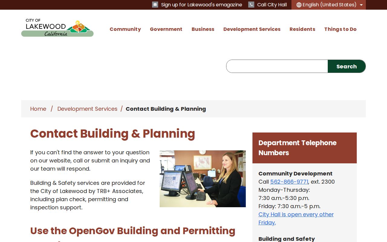
Planning and GIS contacts provide the city-side route for a permit or map question, while the county viewer supplies the online history for the covered years.
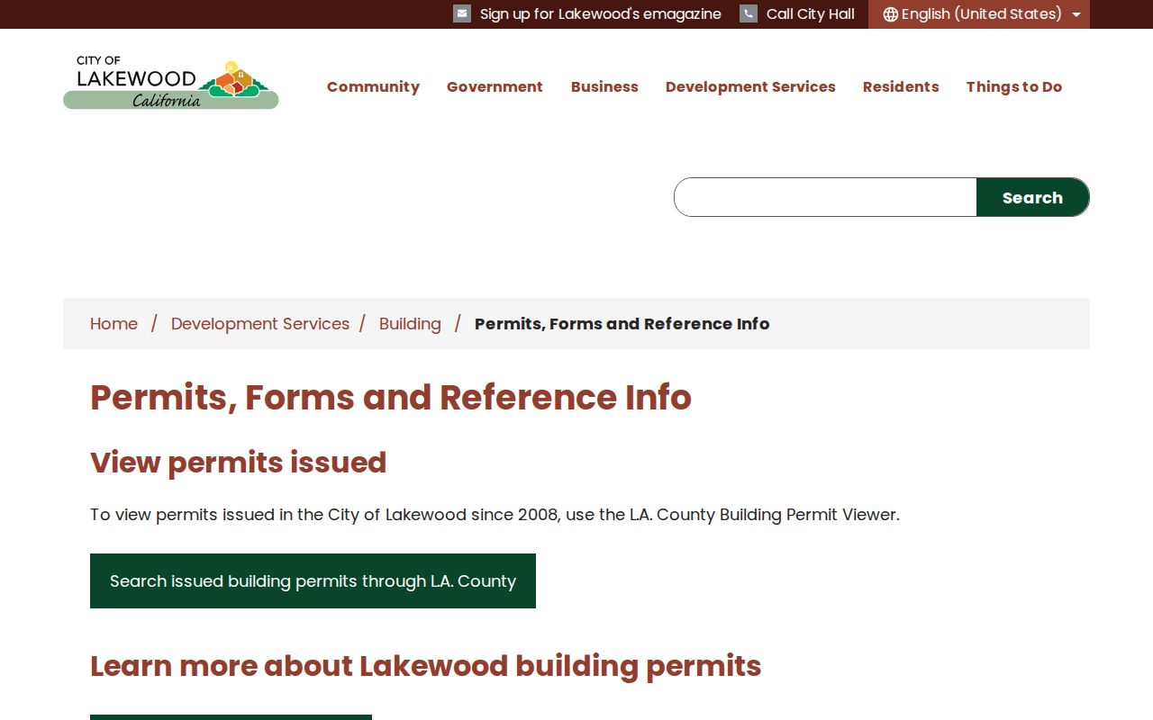
The permit viewer can date a later change to a parcel, but the applicant field still needs an independent identity anchor before it is treated as resident evidence.
Lakewood Street Voter Addresses
The LA County voter status form requires last name, birthdate, house number, and ZIP Code. It is a person checking their own registration, not a street directory search. California’s voter-file application is a separate route for qualified election, scholarly, journalistic, political, or governmental purposes. An approved file may contain residence and mailing address, precinct, status, party preference, participation, or district information, but the requester must certify purpose, security, and distribution controls.
Driver-license and ID numbers, partial Social Security numbers, unique identifiers, and signature images are excluded under Elections Code §2194(b). Protected voters may be handled confidentially. Participation data says an election date and voting method, not ballot choice. The four-field public form therefore blocks casual street enumeration, while an authorized file is still bounded by statute and use rules.
Use the LA County voter status lookup for self-checking. When a street question shifts to one person’s identity, the resident-search workflow is more suitable than trying to infer a household from election data.
Lakewood Street Reverse Directories
Historic reverse, or criss-cross, directories are the closest match to an older street directory. In LAPL ResCarta, choose the Los Angeles Street-Reverse Directories collection, use From and To date fields, or browse titles when OCR misses a street. Open the correct volume, find the street, then inspect the house number and adjoining numbers. This can reveal a listed subscriber or occupant even when the deed owner was someone else.
Alphabetical entries may show surname, given name or initial, spouse, occupation abbreviation, and address. Reverse entries may show street, house number, occupant, and telephone. “r” can mean resides and “h” can mean house, but each volume’s key controls. A person who declined the canvass, lacked a phone, or moved between editions may be absent. Record the title page, year, scanned page, and neighboring entries.
The LAPL directory search is free to browse, while the LA County Library catalog and local history staff can point to paper or microfilm material. The historical collections themselves belong on the City Directories page, while this street directory uses them only for house-number evidence.
Use the USPS address-to-ZIP lookup to validate the postal side of an older street clue before comparing it with a parcel.
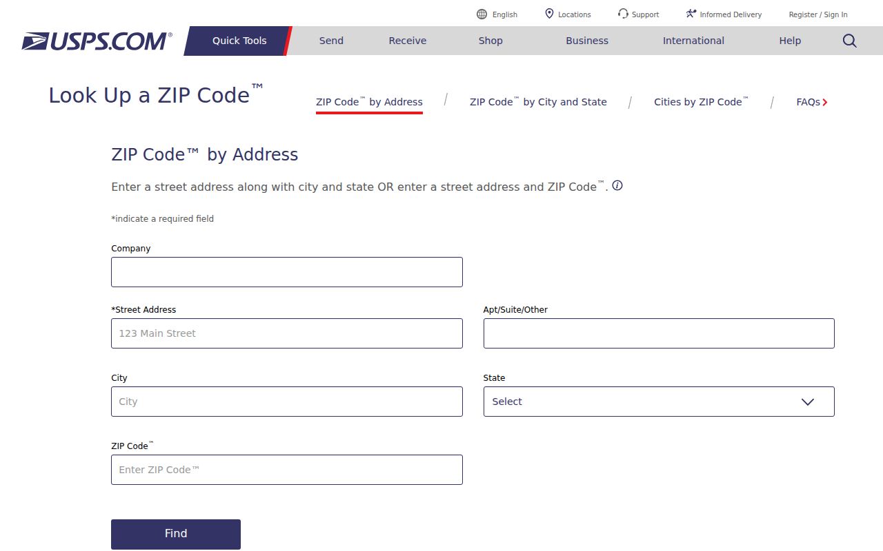
The address-to-ZIP check shown through the USPS route is a useful first validation before an older reverse-directory street label is treated as the same place.
Lakewood Street ZIP Edges
Lakewood uses 90712, 90713, and 90715, but postal geography is not the same as the city line. A Lakewood postal name can touch neighboring places, and Carson Park’s history makes the edge especially important: much of the area south of Carson Street joined Long Beach in 1953 while the northern part entered Lakewood in 1954.
Verify an exact address through USPS, then compare the normalized assessor situs and the Lakewood boundary and council maps. A ZIP can narrow a search, but the parcel and tract keep it on the right side of a city or county record boundary. Water service also changes at the San Gabriel River, which is useful geography but never a customer roster.
Lakewood Street Directory Limits
No public source supplies every person connected with a Lakewood street. Informal household members, unlisted occupants, children, utility customers, delivery recipients, DMV address data, and protected voters are not a public street roster. The assessor shows ownership context. A permit shows work and a project contact. A reverse directory shows a listed person at one time. A voter file, where lawfully available, reflects registration rather than constant presence.
The federal Driver’s Privacy Protection Act restricts motor-vehicle address data. California’s Safe at Home program protects qualifying people with substitute addresses, and public records can contain redactions or later corrections. If a record is wrong, contact the custodian that created it. One office cannot correct another office’s index.
Lawful use. Lakewood address records are for personal, lawful research and civic or family-history purposes. Never use a street search to stalk, harass, threaten, impersonate, or harm anyone.
Note: A complete street directory would imply a household roster that Lakewood’s public record system does not publish.