
Lakewood Neighbor Block Sources
A block has several public layers. The Assessor map supplies parcel geometry and public parcel detail. In My Neighborhood supplies common services and districts. Original tract maps show shared legal context. Permits add project chronology. A reverse directory can show historical listed occupants by house number. A qualified voter file may include residence addresses for an approved purpose, but the public status form cannot browse the block.
| Source | What it shows about a block | Access |
|---|---|---|
| Assessor Map Search | Adjacent parcel outlines, AIN, situs, and public parcel detail | Free click-by-click map |
| In My Neighborhood | Districts, services, parks, projects, schools, and address context | Free address tool |
| Original tract map | Shared subdivision, lot, block, and development setting | Lakewood PDF or archive |
| Qualified voter file | Registered address, status, precinct, and permitted fields | Restricted purpose and fee |
| Reverse directory | Historic listed subscriber or occupant along a street | LAPL scanned collection |
| Permit viewer | Projects at neighboring addresses since 2008 | Public viewer; older files by request |
| Community history | Tract names, public officers, photos, and civic context | City history, library, or archive |
The table keeps a Lakewood neighbors search from turning one map click into a claim about every person nearby. The parcel is public geography. The household is a separate question.
Lakewood Neighbor Parcel Walk
Use the LA County Assessor Portal to enter the known address or AIN. Open parcel detail and Map Search, then zoom until the lot lines and surrounding parcels are visible. Click each parcel and save its AIN and situs separately. Do not infer a rear parcel from house-number order. Aerial and boundary geometry can reveal a lot behind, beside, or across an alley.
- Normalize the target address and record its ZIP and postal city.
- Search the assessor and save the target AIN, situs, legal, and map references.
- Open Map Search and click each adjacent parcel one at a time.
- Use Lakewood maps to compare tract, lot, block, districts, and service layers.
- Use permits or reverse directories only after each neighboring parcel has its own key.
Process: known address → target AIN → adjacent parcel → tract context → narrow record. There is no verified public radius or buffer export in the researched portal, so map browsing remains the reliable block method.
For Lakewood neighbors, the map result is a starting point for record matching, not an identity result about the people connected to an adjacent parcel.
Lakewood Neighbor Tract Context
Simple house-number order can miss rear lots, shared drives, alley parcels, common-interest structures, and irregular tract edges. Lakewood’s small postwar lots make adjacent-parcel browsing useful, while repeated house forms and common legal descriptions make name-only deed searches risky. Carry AIN, tract, lot, and legal description together.
Lakewood’s official maps add original tracts, census tracts, school and council districts, sheriff areas, and service geography. The In My Neighborhood tool returns trash and street-sweeping information, zoning, school and council districts, parks, events, and projects. Those layers describe a shared block setting. They do not list private households or association members.
The Lakewood Maps page is the right map source when a Lakewood neighbor lookup needs tract or district context. It can also explain why two nearby addresses carry different city, ZIP, or service labels.
Note: Rear adjacency is a parcel-map fact, not proof that the people connected to two parcels know one another.
Lakewood Neighborhood Records
Lakewood’s named communities add historical and civic texture to a block search. The official city history identifies Lakewood Village, Lakewood Park, Briarcrest, Lakewood Mutual Homes, Carson Park, Happy Homes, Imperial Estates, Sunshine Homes, Lakewood Shores, Lakewood Estates, Lakewood Manor, Mayfair Lakewood Estates, Cherry Cove, Ponderosa, and Westgate. These names can guide a tract, year, newspaper, school, or archive search.
Lakewood Gardens has one of California’s oldest homeowner associations. Lakewood Shores and Westgate are gated communities with common-interest structures. Public officers or management contacts may help with a historical question, but the research found no entitlement to private member rosters. A public neighborhood identity is not a public household directory.
Lakewood neighbors can share a tract name without sharing an owner, association, household, or public record.
| Lakewood Village | Montana Land Company development beginning in 1933; search pre-city county and Long Beach-area labels. |
|---|---|
| Lakewood Park and Briarcrest | Mass postwar phase; use early-1950s developer deeds and directory transition. |
| Mutual Homes | 1951 cooperative-finance context; instruments may differ from an ordinary sale. |
| Carson Park | 1952-53 build and city split; verify Lakewood and Long Beach parcels separately. |
| Lakewood Shores and Westgate | Gated communities; association or development records may exist, while rosters remain private. |
The neighborhood layer helps explain a block. It does not change the assessor, recorder, voter, or privacy rules that govern person-level evidence.
Lakewood Neighbor Voter Limits
The public LA County voter status form requires last name, birthdate, house number, and ZIP Code. It confirms one person’s registration status and election services. It cannot list the people on a block. California Elections Code §§2188 and 2194 and 2 CCR §§19001 et seq. restrict voter-file information to approved election, scholarly, journalistic, political, or governmental uses.
An approved file can include name, date of birth, registration date, residence and mailing address, precinct, party preference, status, participation date and method, and district links. It excludes driver-license or ID numbers, partial Social Security numbers, unique identifiers, and signature images. Confidential voters may be excluded or handled through protected procedures. A block-level sort is conditional and never a casual Lakewood neighbors directory.
Use the LA County voter status lookup for your own record. Use the California voter access rules before relying on any approved file.
Lakewood Neighbor Permit Records
Issued Lakewood building permits since 2008 are routed through the LA County viewer linked by the city. An address result may show project work, dates, applicant, owner, or contractor fields. It can reveal that work occurred near a target parcel and help date a block change. It does not identify every neighbor, and an applicant may be a contractor or owner representative.
OpenGov handles plan submission, electronic comments, resubmittals, fees, permit issuance, status tracking, and inspection requests. Older files require Community Development or a focused CPRA request. The city’s Building and Planning contact page lists planning, Building and Safety, plan-check, code, and GIS routes, including a GIS extension for map questions.
Water service adds geography. City water serves west of the San Gabriel River, while Golden State Water serves east. Service geography is not customer disclosure, but it can help place a block in the right local history and utility context. The Lakewood permit route and Building and Planning contacts cover the public access paths.
Lakewood Neighbor Safety Lookups
Public safety databases are not neighbor directories, but they sometimes appear in a person search and need clear limits. The California Department of Corrections and Rehabilitation locator can search a name or CDCR number and may show custody, location, or status. The California Megan’s Law website offers a statutory public search with use warnings. Neither service lists every person on a Lakewood block, and an absence is not proof of a clean or current identity.
LASD provides policing for Lakewood. An incident or traffic report request needs a report number, date, location, and involved party, and exemptions can protect victims, witnesses, investigations, and sensitive personal data. Arrest is not guilt. A public court record, custody result, and neighbor relationship are three different facts.
The CDCR locator and California Megan’s Law search carry their own statutory warnings and search limits.
The CDCR locator is a custody search, not a parcel or neighborhood roster.
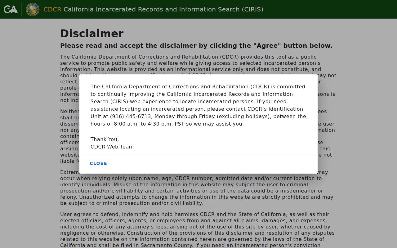
The state locator is a custody search, not a parcel or neighborhood roster, so its result must not be placed into a block list.
The California Megan’s Law search is a separate statutory public-safety resource with its own use warning.
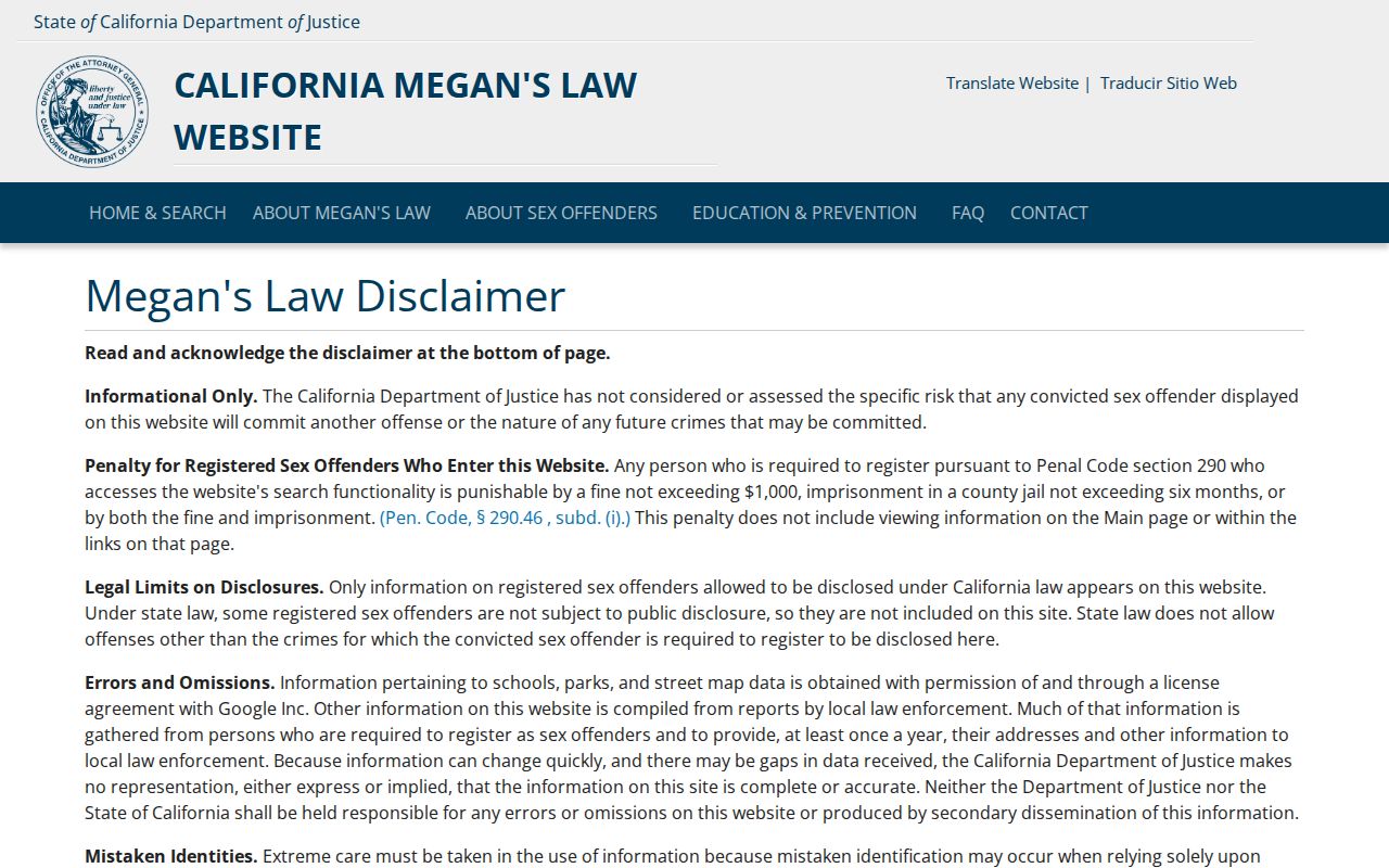
The public registry interface includes use restrictions that matter whenever a Lakewood neighbors search touches a safety database.
Lakewood Neighbor Data Privacy
The California Consumer Privacy Act, Civil Code §§1798.100 et seq., gives qualifying consumers rights to know, delete, correct, opt out of sale or sharing, limit sensitive-information use, and avoid discrimination, subject to exceptions. DROP, created by the DELETE Act, lets a California resident send one encrypted deletion request to more than 500 registered brokers. Brokers begin processing deletion demands August 1, 2026, according to the research.
Deleting a broker copy does not erase the authoritative assessor, deed, court, or voter record. Safe at Home supplies substitute-address protections for qualifying survivors and other protected classes. Government Code §§6205 et seq. and §6208.1 restrict public display after a qualifying demand. Do not copy protected information from an old image into a neighbor note.
The California DROP portal explains the single-request process. Consumer concerns can be sent through the California Attorney General complaint route when a business data practice needs review.
The complaint route is a privacy and consumer-protection channel, not a way to obtain a private neighbor roster.
A careful Lakewood neighbors search preserves the privacy boundary even when a public record supplies a useful lead.
Lakewood Neighbor Lookup Limits
A public map can show parcels. It cannot show every adult, child, visitor, utility customer, delivery recipient, or protected voter. A homeowner association can describe a community while keeping its member list private. A reverse directory can show a historical subscriber. A permit can show project parties. None turns the block into a complete Lakewood neighbors directory.
| Source type | Official result | Person-level limit |
|---|---|---|
| Public parcel tools | AIN, situs, ownership context, geometry | Not every occupant or household member |
| Qualified voter file | Approved residence and election fields | No casual browse; excluded and confidential data |
| Community association | Neighborhood identity and public contact | No entitlement to private roster |
| Commercial neighbor tools | Aggregated leads from mixed data | Errors, stale matches, and unclear source labels |
Lawful use. Lakewood block research belongs to personal, lawful family-history, civic, and parcel-curiosity uses. Never use an address or name to stalk, harass, threaten, impersonate, or harm anyone.
The full named-street chain belongs on the Lakewood by-street page. A neighbors search should stop at the block boundary and the privacy boundary.
Note: “Adjacent parcel” is a map fact; “neighbor” is a social conclusion that public records cannot prove.